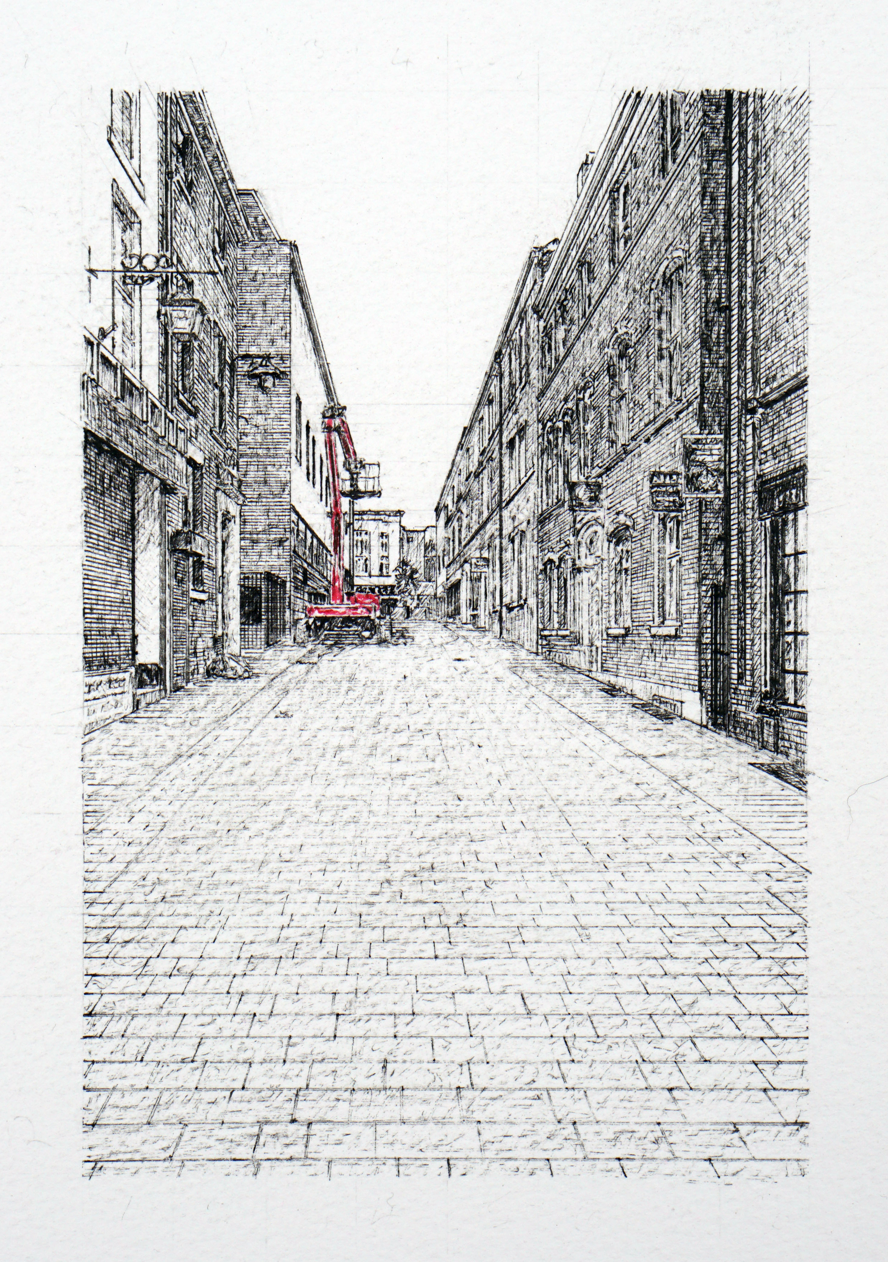
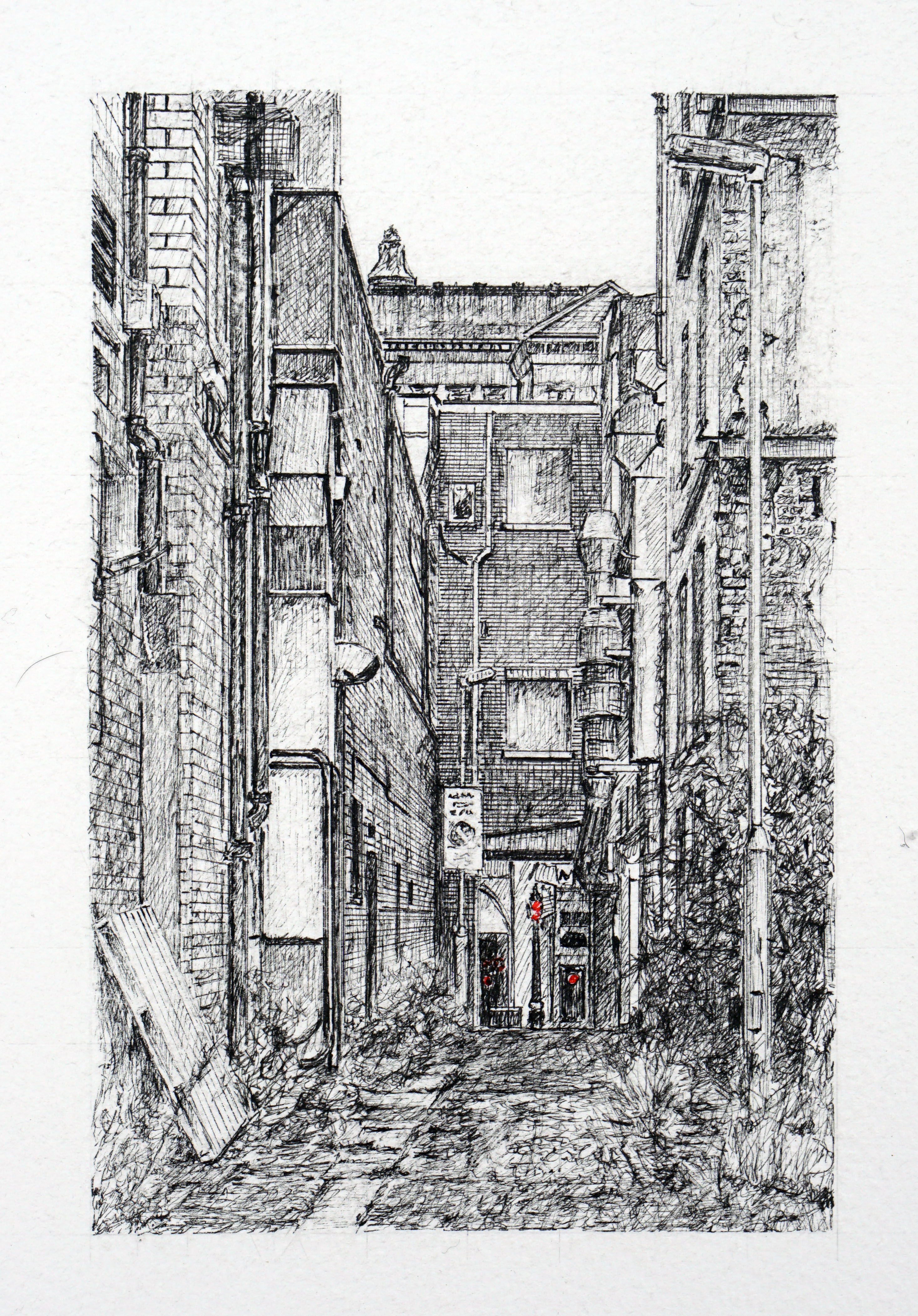
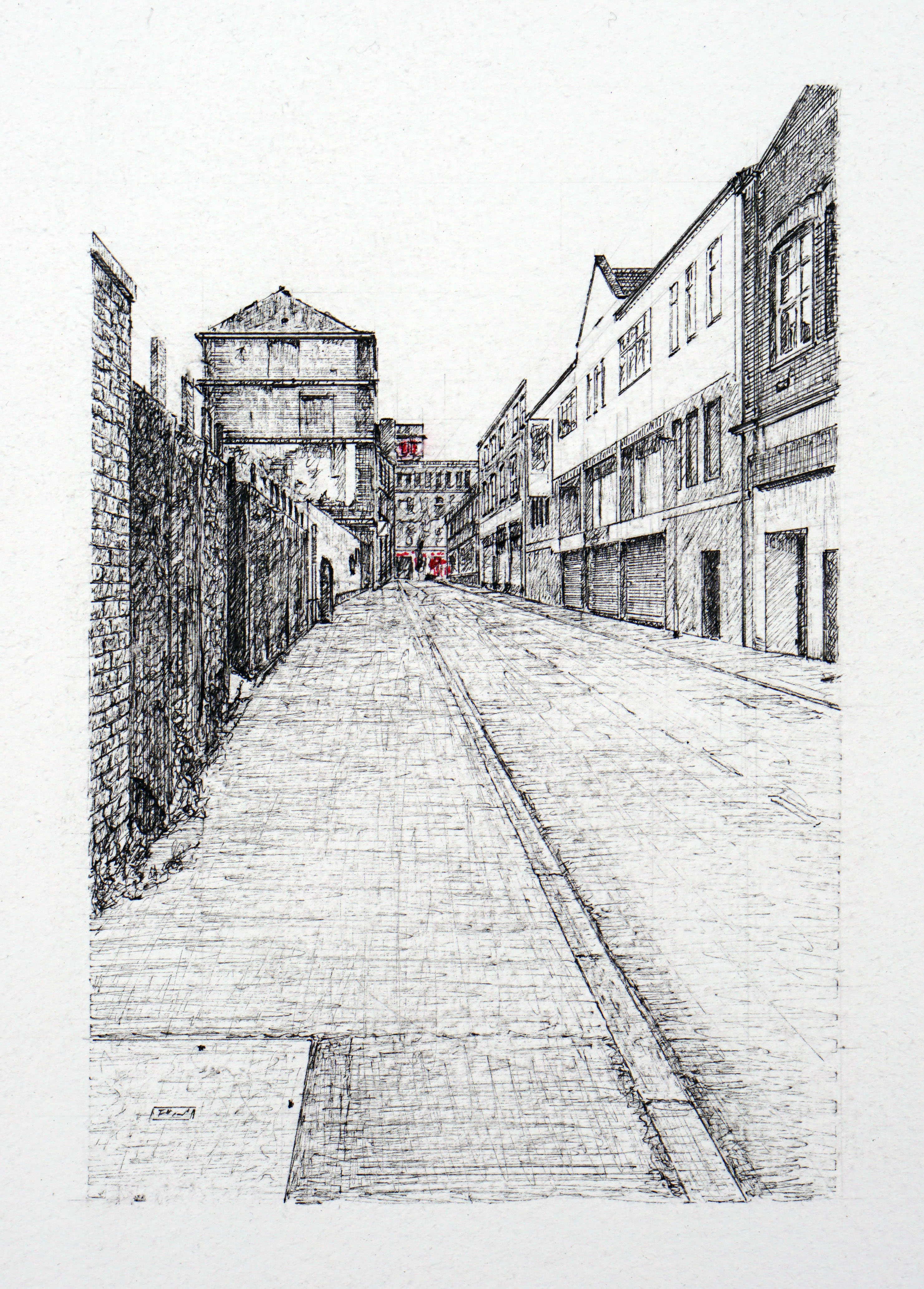
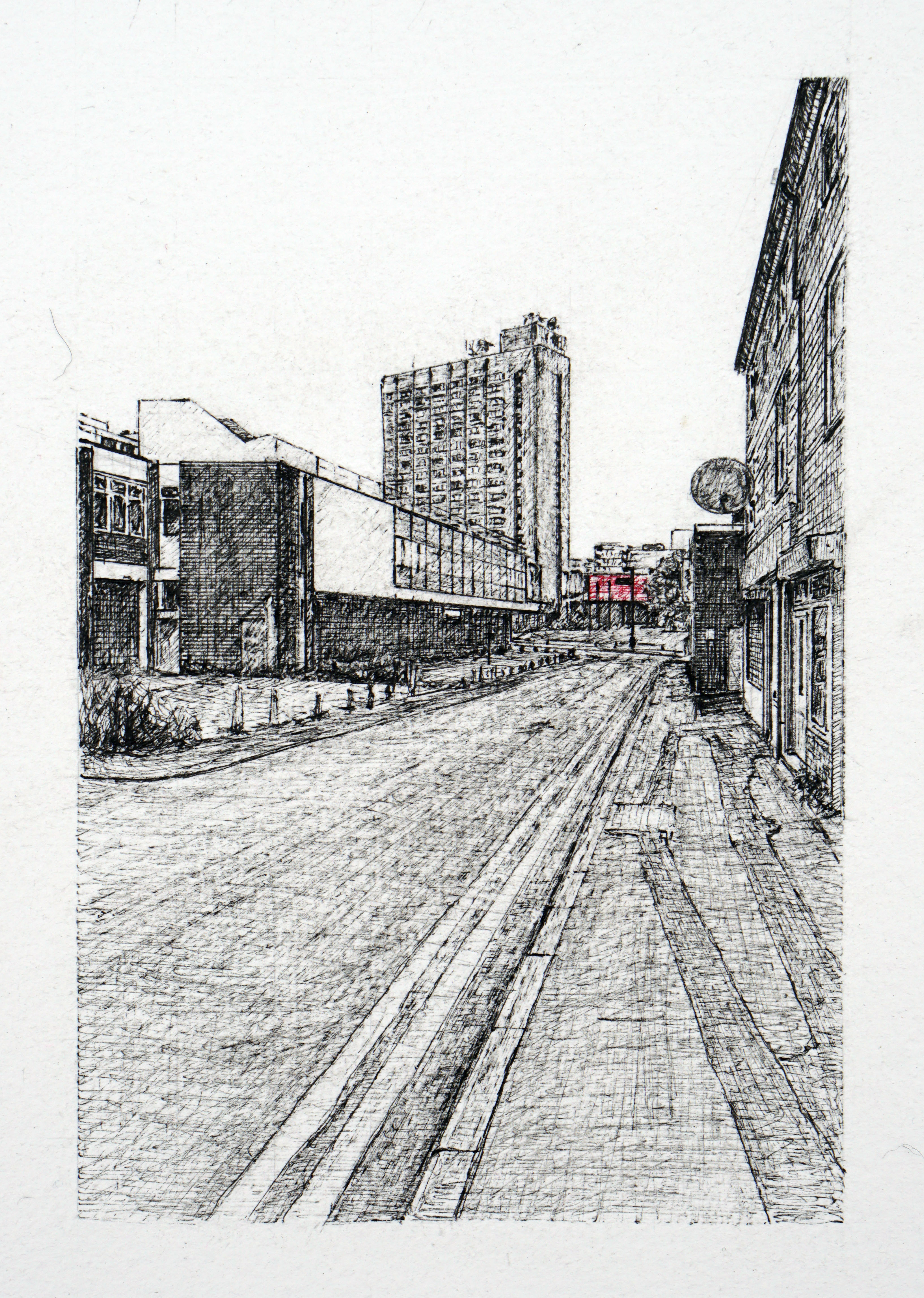
The Way Out is a series comprising fifteen mapped routes from the Avenham estate to Preston city centre. These pathways—ranging from roads to narrow ginnels and informal cut-throughs—trace the habitual movements of the artist and local residents during the 1970s and 1980s. While some of these routes accommodate traffic, others remain pedestrian-only passages, threading through layered urban terrain.
This work engages with the politics of movement and access, reflecting on how working-class communities navigate the spatial and social architecture of the city. The routes, still passable today, formed essential lifelines to school, employment, leisure, and wider transport networks—linking the domestic sphere with both the local and national.
The streets and passageways encompass a mix of functional and liminal spaces: much-frequented shops, building sites, derelict structures, public houses, and transitional zones used solely to reach other destinations. In mapping these paths, the series reveals an alternative urban cartography—one defined not by official planning, but by lived experience.
The named routes, presented in sequence, are: Mount Street, Chapel Street, Winkley Street, Guildhall Street, Cannon Street, Glovers Court, Mein Sprit Weind, Old Cock Yard, Avenham Street, Turks Head Yard, Bolton’s Court, Stonegate, St John’s Place, Manchester Road, and Grimshaw Street.